
Warwick Neighbors and Block Sources
In property records, the most precise meaning of a neighbor is an adjoining parcel supported by a dated tax map, recorded map, or legal description. Orange County offers several ways to develop that property context, but each has limits. The county parcel route can identify a parcel, assessment fields, and mapped context. The final assessment roll is a dated snapshot. County map resources can help identify an official route, yet the live GIS controls and layer list were not reliably available during research. None of these sources creates a household or resident directory for a Warwick block.
| Source | What it shows about a block | Access |
|---|---|---|
| Orange County Parcel Information | Address, owner-name, tax-map-number, or municipality routes to parcel and assessment context | County online gateway; compare its date with the official roll |
| Warwick 2026 final assessment roll | Parcel number, property location, property class, owner-of-record field, mailing line, and Deed Book/Page | Public, dated PDF; no household or current-occupancy finding |
| Orange County Tax Map Office | Official parcel, subdivision, section/block/lot, and map context | Counter or office-request route; confirm current copy procedure |
| Orange County Web Mapping Portal | County-described geographic parcel context | Online gateway; specific layers, adjacency tools, and export controls were not verified |
| County Clerk filed map or deed | Recorded-map and legal-description evidence that can confirm a claimed shared boundary | Request through the County Clerk and its paid SearchIQS/Record Room channels |
A result from any one source should be stated narrowly: “adjoining parcel shown on a dated map” is supportable only after the shared line is confirmed. “Owner of record for an adjoining parcel” is a dated land-record description, not a claim that the person is a neighbor or lives at that property. Note: roads, easements, water, common areas, and changed lot lines can make a visible map edge misleading.
Warwick Neighbor Terms Need Care
Neighbor can mean many different things in ordinary speech: a nearby mailing address, an owner of record, a household member, a voter, a court party, or an historic name on a map. Those categories are not interchangeable. A parcel record has a natural property meaning, but it does not prove a present resident or a relationship between people. A mailing line may be a tax-contact address, a care-of address, a post-office box, a bank marker, or a different municipality. The final roll also can name a trust, estate, entity, joint owner, or other record holder.
The wording should follow the evidence. A tax map and a legal description can support a claim about a parcel boundary. An address record can support “nearby property on the same named road.” Neither supports a household list, family connection, voting status, or a conclusion about who should be contacted. This distinction is the central limit for Warwick neighbors research, even when a block is familiar or a parcel label looks clear.
Map Warwick Neighbor Parcels Carefully
Use one known property address as the starting point, then preserve each source’s date and purpose. The workflow is a boundary-check process rather than a search for people around an address. Orange County says its parcel route accepts owner name, address, tax-map number, or municipality. The published assessment roll is also searchable as a PDF for a known street, tax-map number, or owner string. It remains a snapshot, so its stated valuation and taxable-status dates matter.
- Find the target property through the county parcel route or the final roll, then record its tax-map parcel number, property location, and source date.
- Request or inspect the official tax map and note the section/block/lot, subdivision reference, and any road, water, or common-area separation.
- Compare an apparent shared line with a recorded subdivision map or a deed’s legal description through the County Clerk when adjacency needs confirmation.
- Describe the result only as a dated parcel relationship. Keep owner-of-record and mailing fields labeled as assessment data.
- Use the Warwick street directory for the broader address-record chain along a named road, rather than extending a block boundary into a person list.
The county’s Tax Map Office maintains more than 142,000 parcels, subdivision maps, special-district information, and section/block/lot changes. That makes it the stronger fallback when a web map is unclear. The mapping portal’s existence is documented, but its current layer controls and any buffer or adjacent-parcel function were not verified, so no such tool should be assumed.
Warwick Neighbor Boundaries Need Proof
A boundary test has three parts: the target parcel, a dated official map, and a legal-description or filed-map check where the map is not conclusive. A road can divide parcels that look close. An easement, watercourse, common area, or later subdivision can affect a line that appears to touch at a glance. A current aerial image or informal pin is not a substitute for the tax map and recorded instrument.
The final assessment roll helps with the handoff because it exposes Deed Book/Page alongside the parcel fields. That reference can be taken to the Orange County Clerk’s land-record route, which uses SearchIQS for paid online index and image access and the Record Room for counter help. The exact online coverage start date was not verified, so an older instrument request should go to the Record Room rather than assume an online cutoff. Note: a land record can confirm an instrument or boundary reference without identifying current occupants.
Warwick Neighbor Voter Limits
New York’s Poll Site and Voter Registration Lookup is an individual verification service. Its public form uses last name, first name, date of birth, county, and ZIP, and it returns registration and polling information for the individual matched by those details. It does not provide a street browse, reverse-address lookup, household listing, or a block-level voter screen. The individual lookup should be used only for one’s own record and the state’s stated purpose.
Election Law §3-103(5) limits use of information derived from registration records to an elections purpose. The Orange County Board of Elections handles local registration questions and confidential-registration submissions, while the state controls its voter-file rules. Confidential registration under Election Law §5-508 keeps qualifying records apart for four years. An absent result is not proof that anyone is unregistered or absent from the community. The 2026 VEDA transparency database also excludes individual voter records.
Warwick Neighbor Community Resources
No verified official Town or County directory of neighborhood associations was found. The Town’s planning material recognizes village centers, neighborhood centers, and rural areas, but it does not establish a current association roster. That gap matters: a neighborhood label, local gathering, or civic resource should not be treated as evidence that a household is a member, resides nearby, or consents to contact.
| Documented local resource | Appropriate use | Boundary |
|---|---|---|
| Town of Warwick Friendly Visitor Program | Community-resource information from the Town-supported program page | It is not an association directory, membership roster, or route to identify neighbors |
The Town-supported Friendly Visitor Program is a community resource, not a directory of people or memberships.
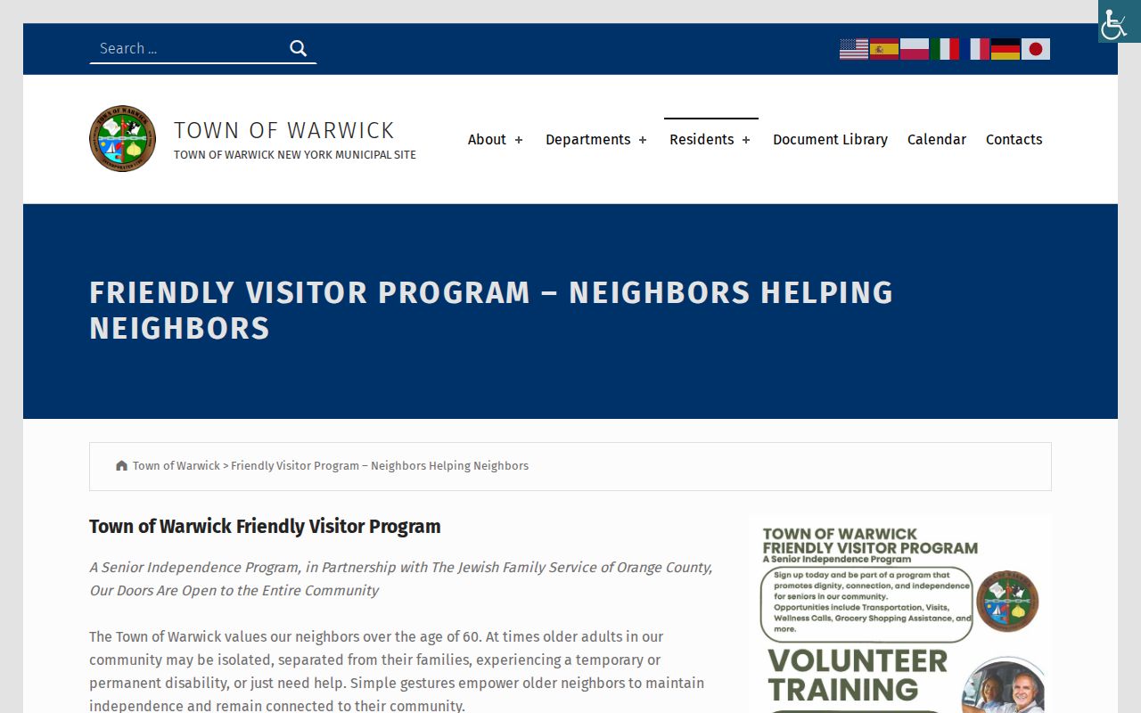
Use a resource page to learn what the program publicly offers. Do not infer participation, a street affiliation, or personal contact information from it. A need for local community help belongs with the documented program or public office, not a parcel search.
Warwick Neighbor Source Comparison
Official records and commercial neighbor tools are different categories. An official tax map or filed deed has a named custodian, a record date, and a defined function. A commercial compilation may combine sources with unclear timing, matching rules, or removal practices. Neither category proves who lives at a location from an owner field alone. When a boundary or property fact matters, return to the official custodian and retain the record date.
| Category | Useful for | What it cannot establish |
|---|---|---|
| Official parcel, tax-map, and deed records | Dated property, parcel, map, and instrument context from a custodian | A list of present neighbors, residents, household members, or voter status |
| Official community resource pages | Publicly described programs and local-service context | Membership, attendance, personal relationships, or a contact roster |
| Commercial neighbor tools | A category of third-party compilation that may need independent review | Authoritative identity, current residence, boundary, or family proof |
New York has no verified statewide data-broker deletion registry in the research sources. Where a commercial publisher has a removal process, use that publisher’s posted privacy route and retain the confirmation. Never replace a dated official map with a compiled label when describing Warwick neighbors.
Warwick Neighbor History Context
Historic maps provide a separate kind of neighborhood context. The 1875 New York Public Library Orange County atlas includes Warwick Village, Pine Island, Edenville, New Milford, and Amity. Its lot labels and road alignments can help frame a date-specific research question, but they do not translate directly into a modern address or identify current residents. Keep an atlas plate, an assessment roll, and a modern tax map in separate time layers.
Warwick Historical Society’s properties page describes local preservation and archival context, including the A. W. Buckbee building’s 1927 library history.
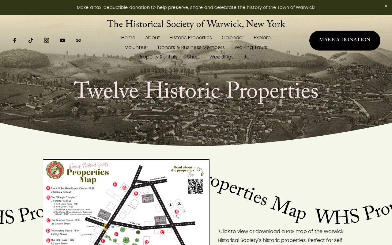
Historic-property material can explain a place, its collection, or its era. It should not be used to infer a current owner, current neighbor, or private contact detail. Albert Wisner Public Library and the Historical Society remain the appropriate routes for dated local-history research.
Warwick Neighbor Lookup Privacy Limits
Available at a custodian does not mean appropriate to republish. The New York Address Confidentiality Program can provide a substitute address and mail-forwarding protection under Executive Law §108. Confidential voter registration, restricted vital records, sealed court material, minors, and other protected people also require care. Motor-vehicle data is not a route around these limits. A missing or altered address may be lawful protection rather than an error.
For a parcel or assessment error, contact the Town Assessor with a tax-map number and a narrow description. For a recorded instrument, contact the Orange County Clerk. For an urgent threat, use emergency services or Warwick Police rather than trying to resolve it through property or court data. A block map can describe land; it should never become a tool for tracking people.